Passive UAV Localizes Multiple 5G Users Within 8 Meters
Standard uplink SRS signals feed onboard synchronization, UE identification, and trajectory-based localization, beating AoA and TDoA baselines by about 5–6 m.
Underlying Paper
Multi-UE Identification and Localization in LAWN via an Autonomous Non-Serving UAV
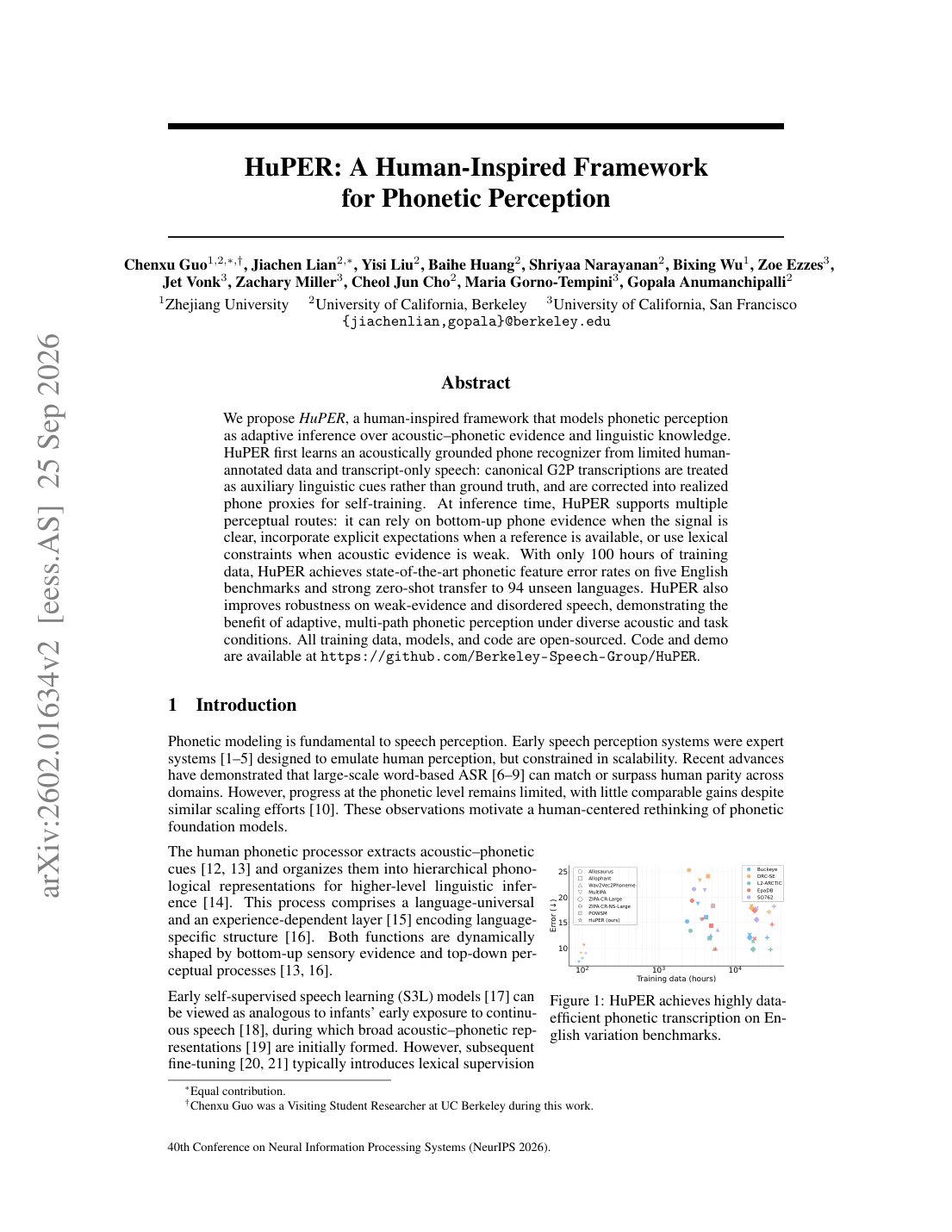
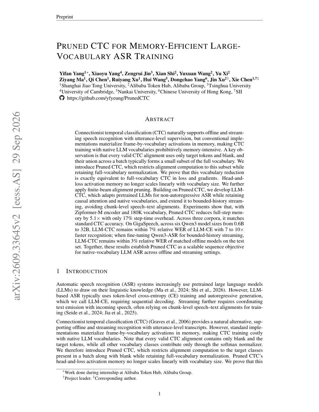
This paper presents an autonomous sensing framework for identifying and localizing multiple User Equipments (UEs) in Fifth Generation (5G) cellular networks using a non-serving Unmanned Aerial Vehicle (UAV). A complete onboard processing chain is developed to perform synchronization, multi-UE identification, and localization directly from standard 3GPP-compliant uplink Sounding Reference Signals (SRS). Unlike conventional UAV-assisted approaches relying on serving nodes or infrastructure support, the proposed platform operates as a passive sensing UAV, requiring only limited initial coordination with the network and no mission-time control-plane interaction. The approach exploits the structured and periodic nature of SRS transmissions together with a tailored protocol configuration to ensure robust operation under realistic multi-UE interference. The system operates with narrowband SRS (1.4 MHz), reducing UE power consumption and hardware complexity while enabling high multiplexing through cyclic shifts and frequency resources. Reliable synchronization and multi-UE identification are achieved even when multiple UEs share the same resources. The UAV autonomously collects measurements along its trajectory and estimates UE positions using a trajectory-based localization strategy. The proposed framework is validated through extensive simulations and a full-scale experimental campaign, achieving localization errors below 8 m in urban scenarios and below 3 m in rural conditions, outperforming state-of-the-art Angle of Arrival (AoA)- and Time Difference of Arrival (TDoA)-based methods by about 5-6 m. These results demonstrate the feasibility of infrastructure-independent sensing UAVs for Low-Altitude Wireless Networks (LAWN), enabling scalable and rapidly deployable situational awareness in emergency and connectivity-limited environments.
Finding ground users without depending on fixed sensing infrastructure is a practical problem for low-altitude wireless networks, especially when disasters or temporary deployments make normal network assistance unavailable. This paper studies a non-serving UAV: a drone that does not act as a base station, does not join the user data path, and instead passively listens to 5G uplink Sounding Reference Signals. The central claim is that standard SRS structure contains enough timing, frequency, and cyclic-shift information to identify and localize multiple UEs from a moving aerial receiver.
Core Contribution
The contribution is a complete passive sensing chain rather than a new estimator in isolation. The UAV starts from mission parameters and SRS configuration, captures uplink SRS transmissions intended for the gNB, separates users that may share time-frequency resources, and estimates positions from measurements collected along its trajectory. The paper’s novelty is the combination: 3GPP-compliant narrowband SRS, onboard multi-UE identification, and autonomous path refinement for localization without mission-time control-plane interaction.
Figure 2 summarizes that processing loop: synchronization, UE identification, a coarse multi-user localization pass, and then per-user refinement through UAV trajectory updates.
Technical Approach
A useful technical detail is that multipath replicas of the same SRS become nearly orthogonal under the SRS autocorrelation structure, while users assigned different cyclic shifts are also approximately separable. The paper makes that condition explicit: identification degrades when relative propagation delays align with the time-domain cyclic shifts that separate transmitted SRS sequences. In other words, the system is not assuming magic separation; it uses the SRS design, and it identifies the interference cases where the design becomes less clean.
For UE identification, the receiver processes the frequency-domain SRS and estimates cyclic shifts. The available figures show examples with three UEs using cyclic shifts 0, 4, and 2, and separate experiments varying the number of users sharing the same SRS resources. For localization, the UAV uses spatially distributed measurements along its route and applies a weighted mean-shift procedure. A coarse estimate is first produced for all UEs, then the UAV updates its trajectory to refine each UE estimate individually.
Results and Analysis
The headline result is localization error below 8 m in urban scenarios and below 3 m in rural conditions. The authors report that this improves on AoA- and TDoA-based alternatives by about 5–6 m. Those are meaningful margins for emergency situational awareness: the system is not merely detecting user presence, but placing users at a scale that could guide a drone, responder, or temporary network asset.
The experimental case is strengthened by the fact that the framework uses 1.4 MHz SRS rather than assuming wideband positioning resources. Narrowband operation lowers UE power demand and receiver complexity, while cyclic shifts and frequency allocation keep multi-user multiplexing possible. That choice also makes the task harder: less bandwidth means weaker delay resolution, so the reported localization accuracy is more informative than it would be under a wideband assumption.
The multi-user results show the boundary conditions. Figure 8 evaluates misidentification probability for and users sharing the same SRS time-frequency resources as received-power disparity and delay spread vary. The qualitative result is clear: larger power imbalance and delay spread make cyclic-shift identification less reliable, and the four-user case is harder than the two-user case.
Figure 9 adds a second stress test: increasing network diameter worsens the synchronization metric and raises misidentification probability for . That matters because the UAV’s sensing footprint is not a free parameter. Larger service areas create larger propagation-delay spreads, and the SRS structure can no longer keep every user cleanly separated under all geometries.
Limits and Interpretation
The evidence supports the feasibility claim: a passive UAV can identify and localize multiple cellular UEs using ordinary uplink SRS, with simulation and full-scale experimental validation. The strongest practical point is the system-level integration. Synchronization, UE identification, trajectory planning, and localization are evaluated together rather than assumed as independent oracles.
The limits are also concrete. The method needs initial SRS configuration knowledge and limited coordination with the network before the mission. It is sensitive to delay spread, user count per shared resource block, and received-power disparities. The reported gains are tied to the tested urban and rural scenarios; the paper does not establish that the same error range holds for denser high-rise channels, larger UE populations, or uncoordinated commercial deployments where SRS scheduling may not match the proposed configuration.
Evidence Box
strongKey Claims
- •Passive non-serving UAV sensing from standard 5G uplink SRS
- •Multi-UE identification through SRS frequency processing and cyclic-shift estimation
- •Trajectory-based localization without mission-time control-plane interaction
- •Narrowband SRS operation preserves localization accuracy while reducing UE and hardware demands
Key Results
- •Localization error below 8 m in urban scenarios
- •Localization error below 3 m in rural conditions
- •About 5–6 m improvement over AoA- and TDoA-based methods
- •Misidentification evaluated for U_b=2 and U_b=4 at 1.4 MHz SRS bandwidth
Limitations & Caveats
- •Requires initial mission parameters and SRS configuration knowledge
- •Identification degrades with larger delay spreads and received-power disparities
- •Network diameter worsens synchronization and multi-UE identification for U_b=1, 2, 4, and 8
- •Validation tied to the tested urban and rural scenarios rather than arbitrary live-network deployments